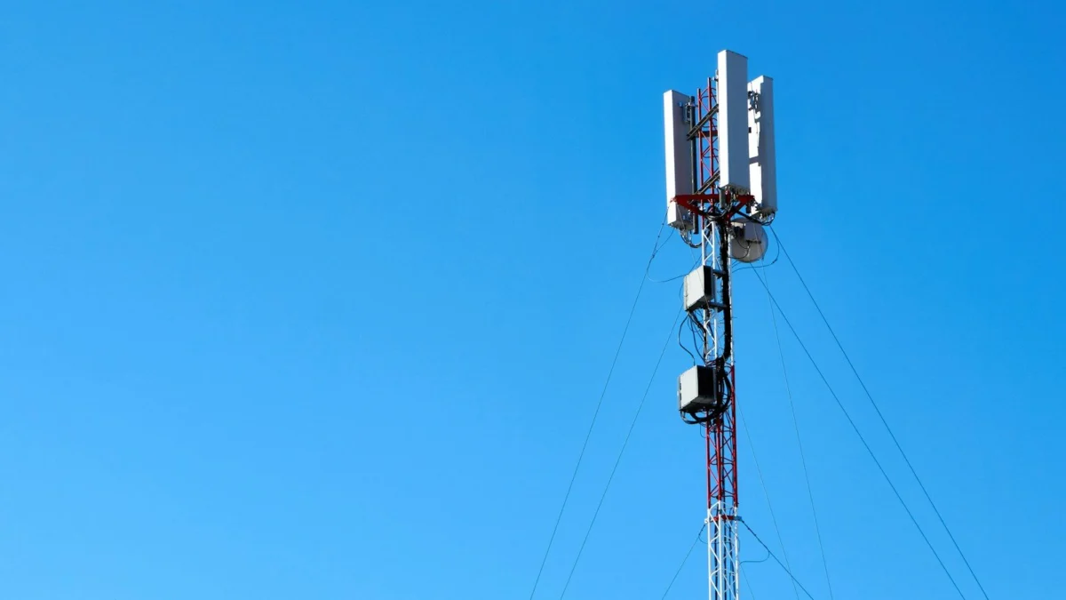
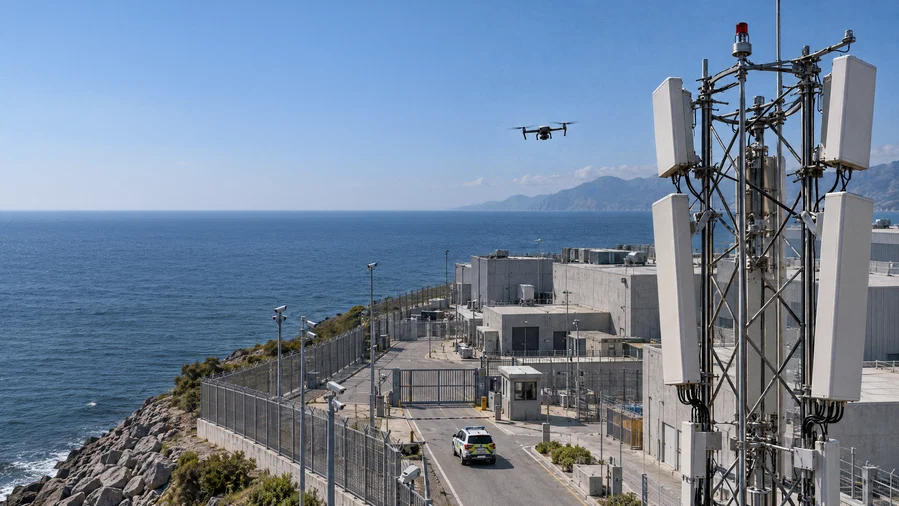
In a transformative shift for telecommunications and national security, Ericsson (NASDAQ: ERIC) has officially unveiled the Ericsson Integrated Sensing and Communication (ISAC) System. This pioneering technology repurposes existing 5G mobile network infrastructure to detect and track uncooperative, low-flying objects—specifically small, hard-to-spot drones—across vast geographic areas.
By evolving mobile networks from mere data conduits into sophisticated, multi-static sensor arrays, Ericsson is addressing one of the most pressing challenges of the modern era: the "low-altitude gap." As small drones become increasingly accessible for surveillance, organized crime, and sabotage, traditional radar systems have struggled to provide the necessary coverage density to secure urban centers, critical infrastructure, and borders. The ISAC system promises to turn the global footprint of 5G towers into a pervasive, real-time security grid.
The Core Innovation: How the Network Becomes a Sensor
The Ericsson ISAC System operates on a concept that is as elegant as it is complex. By leveraging the radio signals already permeating our environment for mobile connectivity, the system transforms the 5G network into a giant, distributed radar-like sensor.
Multi-Static Sensing
The architecture functions as a multi-static system. In a traditional radar setup, a single transmitter and receiver pair provides a limited line of sight. In contrast, the ISAC system distributes transmission and reception across multiple, geographically separate 5G cell sites. Because these signals bounce off objects—even those not connected to the network—the system can analyze the reflected signals from multiple angles simultaneously. This "multi-angle" view significantly increases the confidence level of detection, ensures higher precision in 3D positioning, and provides superior track continuity, even in cluttered urban environments.
The Power of AI and Edge Computing
Hardware alone is insufficient for the task of drone tracking; the system relies heavily on the integration of edge computing and Artificial Intelligence. As radio signals are reflected back to the network, they are processed locally at the network edge. AI algorithms filter out background "noise"—such as swaying trees, vehicles, or birds—to isolate the specific, unique flight signatures of drones. This data is then translated into actionable intelligence that can be fed into existing security and command-and-control dashboards.
A Strategic Timeline: From Pilots to Global Rollout
Ericsson has outlined a measured, phased approach to the commercialization of this technology, ensuring that the integration of sensing capabilities does not disrupt the primary function of mobile networks.
- 2024–2026 (Validation Phase): Over the past several months, Ericsson has successfully concluded a series of live 5G demonstrations. These trials served as the "proof of concept," validating that the technology could reliably detect micro-drones at kilometer-scale distances with high-precision positioning.
- 2027 (Initial Commercial Pilots): Ericsson will begin small-scale, sensing-only commercial pilots with a select group of global partners. This phase is intended to refine the integration of the ISAC system with existing security operations and evaluate performance in diverse environmental conditions.
- 2028 (Broader Deployment): A wider commercial rollout is scheduled to begin. During this period, the system will move toward full-scale operational status, allowing for the widespread deployment of sensing capabilities across national 5G footprints.
- The 6G Evolution: As the industry transitions toward 6G, the ISAC system will evolve to incorporate fully integrated communications and sensing, where the two functions become inseparable aspects of the network’s native architecture.
Supporting Data: Validating the "Low-Altitude Gap"
The urgency behind this technology is underscored by the current limitations of air defense. While dedicated radar and acoustic sensors are excellent at protecting high-value targets (such as military bases or government facilities), they are prohibitively expensive and difficult to scale across entire cities or industrial corridors.
Evidence from the Field
Recent trials have provided compelling evidence that ISAC is a viable force multiplier:
- Arlington, Texas (AT&T): Using a combination of Ericsson technology and AT&T’s network, testers successfully located and tracked multiple drones in a stadium environment, proving that the technology can handle the complex signal interference typical of large public venues.
- Helsinki, Finland (Erillisverkot): This trial demonstrated that multiple 5G sites could collaborate to provide wide-area coverage, offering a public safety solution that bridges the gap between local sensors and regional surveillance.
- Poland (Asseco and Play): By integrating Ericsson’s sensing technology with Asseco’s PUSZCZYK acoustic system, researchers achieved even higher levels of detection accuracy, proving the effectiveness of "sensor fusion"—using the network as one layer of a multi-layered security approach.
Implications: A New Era for Defense and Infrastructure
The introduction of the ISAC system has profound implications for a variety of sectors, effectively turning the "connected world" into a "monitored world."
Defense and National Security
For military and border control agencies, the system offers an unprecedented ability to monitor coastlines and borders without the need for constant, manual infrastructure deployment. By using existing cell towers, governments can extend their situational awareness at a fraction of the cost of traditional radar networks.
Protecting Critical Infrastructure
Power plants, ports, data centers, and water treatment facilities are frequent targets for surveillance and interference. ISAC provides a persistent, 24/7 monitoring capability that acts as an "invisible fence," alerting security teams to the presence of unauthorized drones before they reach the perimeter.
The "Low-Altitude Economy"
Perhaps the most optimistic application is the enablement of the "low-altitude economy." As delivery drones, air taxis, and urban air mobility vehicles become a reality, the sky will become increasingly crowded. The ISAC system can serve as the backbone for drone traffic management, ensuring that unmanned aircraft can navigate urban canyons safely while providing digital twins for smart-city planning.
Official Responses: Industry Perspectives
The reception from industry experts and partners has been overwhelmingly positive, highlighting the dual-use nature of the technology.
Freddie Södergren, Global Head of Mission Critical Networks and Defense at Ericsson, emphasized the collaborative nature of the system: "Low-flying drones create a detection coverage gap that no single sensor can effectively address. Ericsson ISAC System enables multiple 5G sites to deliver coordinated wide-area detection and continuous tracking… It also gives operators a pathway to create new services from existing network assets."
Joe Madden, Principal Analyst at Mobile Experts, noted the economic efficiency of the solution: "Ericsson’s ISAC System shows that mobile-network sensing can perform far better than many expect… By building on an extensive footprint of existing sites, Ericsson has the potential to deliver wide-area drone detection faster and more cost-efficiently than deploying new dedicated sensor infrastructure."
Carl Lundqvist, Chief Architect of the Swedish Armed Forces HQ, echoed the security benefits: "The possibility of using distributed infrastructure to complement existing sensors could provide an important additional layer of situational awareness."
Shawn Hakl, SVP & Head of Product, AT&T Business, highlighted the paradigm shift: "The next evolution of connectivity is about networks that don’t just move data but help organizations with insights to better understand and respond to the events in the real world."
Conclusion: A More Secure Future?
As Ericsson prepares for the 2027 pilot phase, the technology stands as a testament to the untapped potential of 5G. By transforming our existing, ubiquitous mobile networks into a sensing grid, we are effectively shrinking the "blind spots" that have defined the last decade of drone proliferation.
While the system is not intended to replace high-end, dedicated military radar, its ability to complement these systems provides a level of coverage density previously thought impossible. As the world moves toward 6G, the Ericsson ISAC System represents a critical step in making our skies safer, our infrastructure more resilient, and our mobile networks more intelligent than ever before. The future of situational awareness, it seems, is already built into the towers standing on our street corners.