In the vast, unforgiving expanse of space, the Global Positioning System (GPS) is more than a convenience—it is the invisible tether that keeps our modern infrastructure, from telecommunications to maritime navigation, functioning seamlessly. However, as humanity pushes its reach further from Earth, venturing toward the Moon and eventually Mars, this tether begins to fray. The reliance on Earth-based signals becomes a critical vulnerability for deep-space exploration.
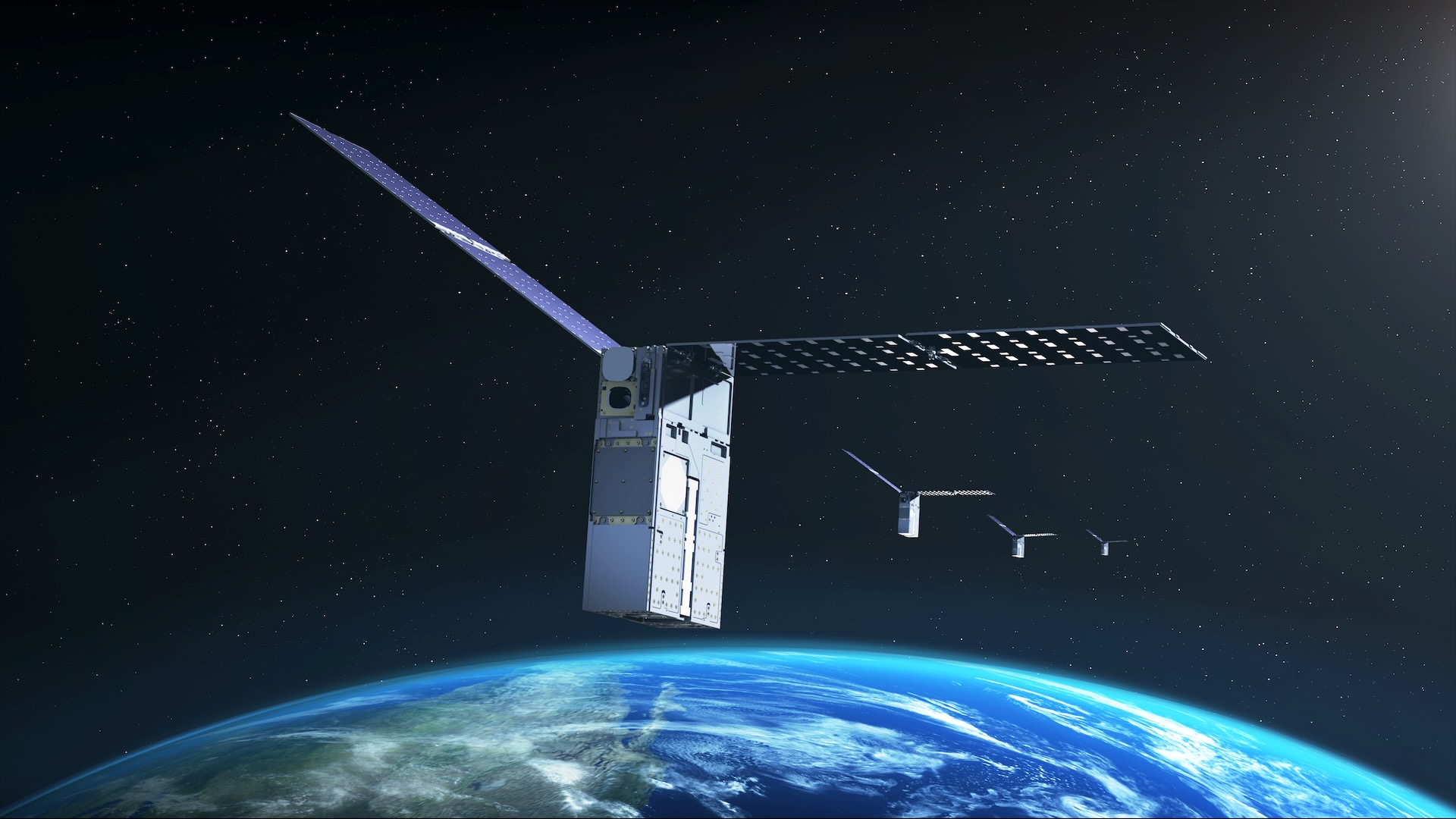
To solve this, NASA has been quietly testing a revolutionary solution in low Earth orbit (LEO). The Starling mission, a swarm of four small, boxy satellites known as CubeSats, has successfully demonstrated a method of navigation that requires no external signals. By using other satellites as "celestial landmarks," the mission is laying the groundwork for a future where spacecraft can navigate the solar system with complete autonomy.
Following the success of its initial three-year phase, NASA announced on Monday, August 17, that the Starling mission has been extended through at least 2028. This extension aims to refine the FALCON (Fast Autonomous Lost-in-space Catalog-based Optical Navigation) system, a sophisticated software suite developed in collaboration with EraDrive.
The Mechanics of FALCON: Navigation Without a Map
At its core, the FALCON technology represents a paradigm shift in how we conceive of orbital positioning. Traditional spacecraft rely on ground stations or the GPS network to triangulate their location. But as missions move into cislunar space—the region between Earth and the Moon—the density of GPS signals drops off, and the time-delay for communications with Earth makes real-time, ground-based navigation inefficient.
FALCON solves this by turning the "clutter" of space into a navigational asset. The Starling satellites are equipped with high-resolution optical cameras that scan the heavens. By comparing the images they capture against an onboard, pre-loaded database of approximately 20,000 known satellites and space objects, the CubeSats can determine their own position with remarkable precision.
Essentially, the satellites are "star-tracking" their peers. By identifying known objects and measuring their relative distance and trajectory, the Starling swarm can calculate its orbit without once pinging a ground station. This "self-orbit determination" is a historic first for small spacecraft, marking the beginning of truly independent space travel.
A Chronology of Success: From Launch to Extension
The Starling mission was never intended to be a static project. Since its inception, it has served as a crucible for testing autonomy in increasingly crowded orbital environments.
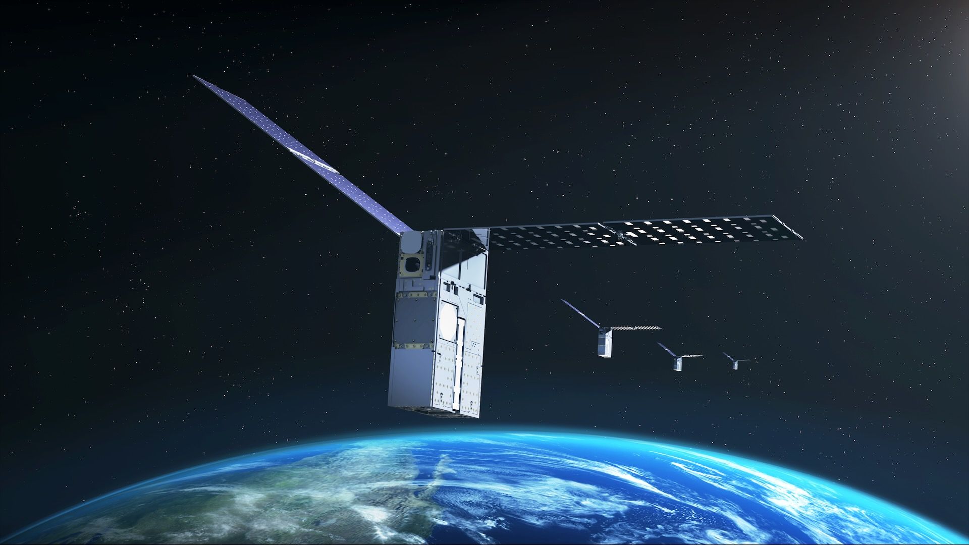
- Deployment and Initial Calibration: The four CubeSats were launched into LEO to establish a baseline for swarm behavior. Early operations focused on station-keeping and ensuring that the four units could communicate and synchronize their movements.
- Integrating FALCON: The transition from simple swarm coordination to active navigation began with the integration of the FALCON software. This phase required the satellites to move from passive data collection to active optical tracking.
- The 2025 Milestones: In a significant proof-of-concept, the Starling swarm utilized its cameras to verify the orbits of hundreds of objects. In a span of just three days—and completely without human intervention—the swarm autonomously updated orbital predictions for 200 objects, producing results that exceeded the accuracy of existing ground-based catalogs.
- The 2026 Extension: With the mission having surpassed its original technological objectives, NASA formally announced an extension through 2028. This period will focus on stress-testing the algorithms in more complex scenarios and preparing the software for potential deployment on upcoming lunar missions.
Supporting Data: Why "Crowded" Space is the Best Laboratory
The Starling mission operates at an altitude of approximately 350 miles (565 km). This is a highly congested "orbital shell." In fact, the mission’s altitude was specifically adjusted upward by 10 kilometers during the planning phase to avoid potential interference with SpaceX’s Starlink constellation, which operates at 340 miles (555 km).
This proximity to other traffic is not a bug; it is a feature. By operating in one of the most densely populated regions of space, the Starling team has been able to test "Space Situational Awareness" (SSA) in real-world conditions.
The onboard database, which houses 20,000 objects, is constantly updated by the spacecraft’s own observations. The fact that the satellites can identify and track hundreds of nearby objects while maintaining their own navigation underscores the robustness of the FALCON system. In an era where space debris and collision avoidance have become daily concerns for satellite operators, the ability for a spacecraft to identify threats autonomously—rather than relying on ground-based tracking that may be delayed—is a vital safety upgrade.
Official Responses and Strategic Implications
The strategic value of this technology has not gone unnoticed by the wider aerospace community. While NASA’s mandate is primarily civilian and scientific, the U.S. Department of Defense (DoD) has also been aggressively seeking alternative positioning, navigation, and timing (PNT) capabilities.
"As NASA prepares for more missions beyond Earth’s orbit, technologies like FALCON can support lunar satellite swarms, distributed science missions, and human exploration," NASA officials stated in their recent announcement.
Roger Hunter, program manager for NASA’s small spacecraft and distributed systems program, emphasized the broader impact: "The results from FALCON can have far-reaching implications for on-orbit space-traffic monitoring, collision avoidance, and alternative navigation."
The military’s interest, evidenced by initiatives like those from SpaceWERX and Space Systems Command, mirrors these civilian goals. The fear that an adversary could neutralize or jam GPS in a time of conflict has prompted a "decentralized" approach to space navigation. If a satellite can navigate by looking at its neighbors, it no longer needs the "umbilical cord" of a GPS signal to survive.
Looking Ahead: The Road to the Moon and Beyond
The ultimate destination for the lessons learned from Starling is the Moon. With the Artemis IV mission scheduled for 2028, NASA is moving rapidly to establish a permanent presence on the lunar surface.
However, the Moon presents a unique set of challenges. Unlike Earth, the Moon has "mascons"—large, uneven concentrations of mass beneath its surface. These gravitational anomalies tug on orbiting satellites, making navigation notoriously difficult and potentially leading to crashes if not accounted for.
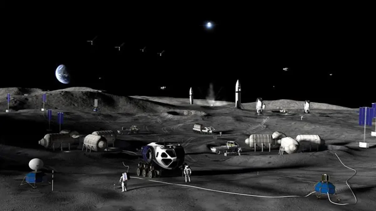
By perfecting the FALCON software in the familiar, albeit crowded, environment of Earth orbit, NASA is preparing to deploy these autonomous "navigators" to the Moon. In a cislunar environment, where GPS coverage is non-existent, a swarm of satellites using FALCON could act as a local, distributed GPS network for lunar rovers, habitats, and incoming spacecraft.
Furthermore, this technology opens the door to "interplanetary traffic management." As we begin to send more hardware to Mars and the asteroids, the sheer number of vehicles will require a system that can manage itself. The Starling mission has proven that the future of space travel isn’t just about going further—it’s about becoming smarter.
As the Starling mission enters its next phase of life, it serves as a beacon for the next generation of space explorers. By removing the need for an external, centralized navigational infrastructure, NASA is handing the keys of navigation to the spacecraft themselves. In the dark, silent depths of the solar system, that autonomy will be the difference between a mission that survives and one that is lost in the void.